
Map of Lillingstone Lovell
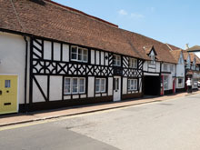
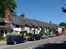
Map of Lillingstone Lovell Buckinghamshire, a village to the north of Akeley and Leckhampstead.
Lillingstone Lovell Map Buckinghamshire England
Lillingstone Lovell Map Bucks: Find streets, roads and amenities in the Buckinghamshire village of Lillingstone Lovell, using this handy interactive map.
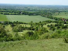
Also visible on this Lillingstone Lovell map are Lillingstone Dayrell, Hill Farm, the Old Post Office, Keyes Farm, zoom out to look at Puxley, Wicken, Leckhampstead and Akeley.
Use navigation buttons on this Lillingstone Lovell street map to get a closer view, or move around to see other areas surrounding Lillingstone Lovell in Buckinghamshire.
More Buckinghamshire Maps:
- Road Map Chearsley Bucks
- Road Map High Wycombe Bucks
- Road Map Quainton Bucks
- Road Map Bletchley Bucks
- Road Map Cuddington Bucks
TOP - Lillingstone Lovell Map - Lillingstone Lovell Plumbers
Find Local Tradesmen: Painters - Electricians - Carpenters - Builders - Gardeners - Roofers - Tilers - Locksmiths - Metalworkers - Bricklayers - Cleaners - Plumbers
BUCKINGHAMSHIRE MAPS - HOME PAGE